Abstract
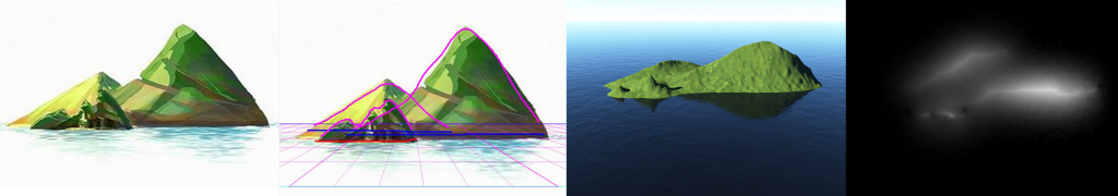
Authoring virtual terrains can be a challenging task. Procedural and stochastic methods for automated terrain generation produce plausible results but lack intuitive control of the terrain features, while data-driven methods offer more creative control at the cost of a limited feature set, higher storage requirements and blending artifacts. Moreover, artists often prefer a workflow involving varied reference material such as photographs, concept art, elevation maps and satellite images, for the incorporation of which there is little support from commercial content-creation tools. We present a sketch-based toolset for asset-guided creation and intuitive editing of virtual terrains, allowing the manipulation of both elevation maps and 3D meshes, and exploiting a layer-based interface. We employ a frequency-band subdivision of elevation maps to allow using the appropriate editing tool for each level of detail. Using our system, we show that a user can start from various input types: storyboard sketches, photographs or height maps to easily develop and customise a virtual terrain.
Copyright Notice
The documents contained in these directories are included by the contributing authors as a means to ensure timely dissemination of scholarly and technical work on a non-commercial basis. Copyright and all rights therein are maintained by the authors or by other copyright holders, notwithstanding that they have offered their works here electronically. It is understood that all persons copying this information will adhere to the terms and constraints invoked by each author’s copyright. These works may not be reposted without the explicit permission of the copyright holder.